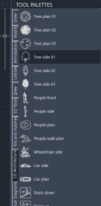
Use tool palettes to organize blocks, hatches, and custom tools in a tabbed window. You can easily customize them by dragging and dropping. Options and settings are available via shortcut menus. �
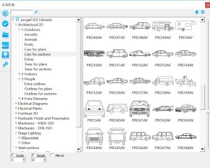
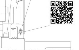
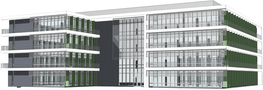
Links to Traceparts, ProgeCAD’s Cadenas, and BIM&CO portals, providing access to over 100 million CAD and BIM blocks. You can quickly insert these blocks into your drawings.Architectural drawings software users will benefit from the wide range of 3D blocks available.
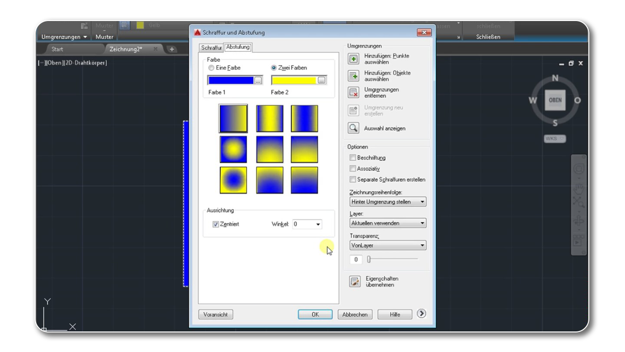
Gradient Hatch Support
Enhancing drawings in ProgeCAD with color gradients adds a realistic touch and improves presentation impact. The user-friendly interface allows easy creation and display of these gradients.
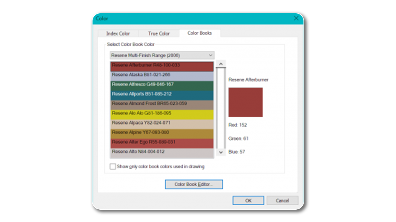
Color Books Support
With ProgeCAD, the RGB values of the Color Books Colors that are assigned to objects are preserved in all current and legacy drawing files
Annotative Objects
This feature automatically adjusts the size of text, hatches, and dimensions to fit different scales in viewports. Text (single-line text), Mtext (multi-line text), Dimensions, Tolerances, Hatches, Blocks, Block attributes. This is essential for both Architectural Drawings and Industrial Design drawings that need to adapt to different scales.